When it comes to determining your ultimate level of potential deer management success, whitetails and topography are the perfect match, and it isn't even close! With similar area hunter numbers, deer herds and season dates, the habitat that offers the greatest diversity of topography will nearly always include the greatest level of herd and hunting potential.

*With planting season just around the corner, make sure to check out the strategies within "Food Plot Success by Design", before you plant, and not after.
Why Are Whitetails and Topography the Perfect Match?
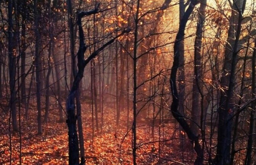
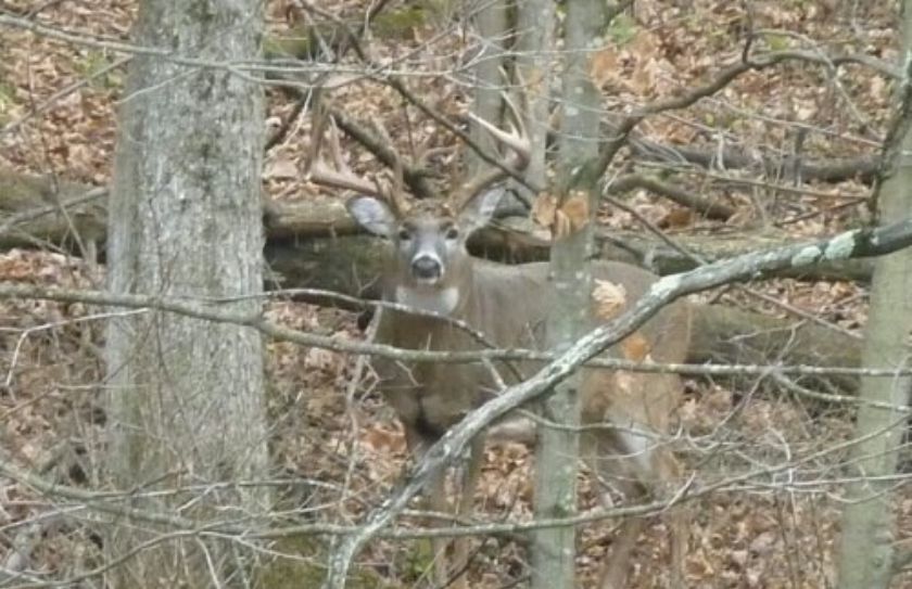
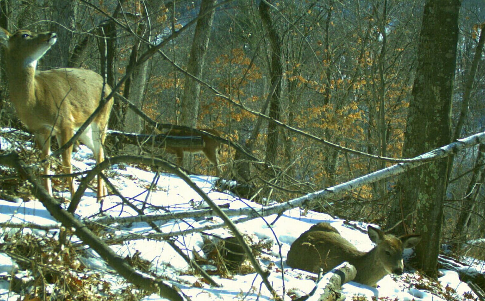
Whitetail habitat management success hinges more on the ability to hide your habitat improvements from your hunting season movements, than the level of quality of your improvements. Location, Location, Location. Broken topography allows whitetails to hide from you, as well as from each other. When deer are hidden (even by elevation changes as little as 10-15'), they not only experience and are attracted to the lower levels of stress, but they learn to adapt and use the terrain to their advantage. And that advantage often means that they can successfully escape from the view of hunters to a very high level of efficiency. When whitetails and topography are matched together on the habitat that you hunt, they combine to form an exceptional opportunity for deer managers and hunters alike. Flatlanders have to work several times harder creating optimum deer habitat improvements, than those with similar herd and hunting variables in uneven terrains, because a large portion of the improvements have to be designed to hide deer. Increased cuttings and plantings for screening need to take place on flat habitats, to be able to hide deer at the same level of habitats of broken topography, that have had no cutting or screening improvements completed. That doesn't mean that you shouldn't cut or offer screening plantings within hilly habitat, instead that sometimes a parcel with hills is already several steps ahead of the game, before your habitat efforts even begin. By being able to focus on your hunting strategy first, a parcel with great terrain features can begin to produce a quality herd and hunting experience, often during the first year.
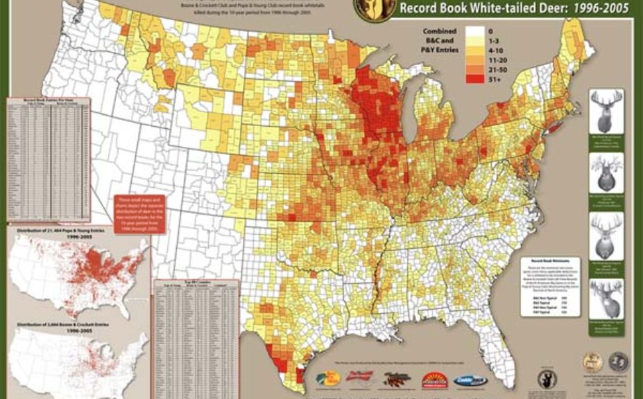
*Have you checked out a distribution map of trophy whitetail entries from the Quality Deer Management Association? It is no coincidence that the majority of highly concentrated areas include at least modest topographical features, in particular within the bluff country portions of habitat along the Mississippi River. For a greater level of insight into how to use the wind to your advantage when hunting whitetails in broken terrain, make sure to also read, "Hill Country Whitetails".
Topography Increases Herd and Hunting Potential:
Are you in the market for a new chunk of whitetail habitat? There are several reasons that the greater the level of topography you have, the greater your level of potentail whitetail success that you will find!
1. Topography Hides Whitetails
-Hidden bucks equal older buck age structure potentials. You can't shoot what you can't see.
2. Wind Options
-Topographical changes create the opportunity for you to learn how to "Cheat the Wind", when it comes to increasing your treestand options for mature bucks. In hill country you can cheat the wind, hunt the quiet (lee) side of the ridges, and more effectively define the advantage of morning vs evening stand locations.
3. Hunter Distribution
-A larger number of hunters than you may realize, avoid hunting steep terrain. And who can blame them? However, the resulting effect leaves a large portion of interior, broken topography habitats free from hunting pressure. This also increases the temptation for using ATVs or other motorized vehicles to access premium portions of elevated habitats, which can create outstanding opportunities for those who choose a quieter, more stealthy approach. What is better than hunting combinations of habitat that feature whitetails and topography? Hunting on those same lands with neighbors that choose to ride, instead of walk.
4. A Level Playing Field
-A large portion of habitat improvement efforts center around hiding whitetails. Whitetails that have would have been exposed, vulnerable and otherwise non-existent in similar parcels of little to no eleveation change, become hidden, safe and attracted to the same habitat flanked by elevation changes. You will find you can focus much more on your hunting and herd management strategy on quality parcels with great terrain features, and less time spending thousands of dollars and hundreds of hours of work, on habitat improvements. For example during the last 14 years on my own hunting parcels in WI, with 300-400' changes in elevation, I haven't needed to create bedding areas because they were not a priority for hiding deer. Even deer travel corridors become highly defined without the need for habitat manipulation, due to frequent topographical changes that include benches, saddles and ridgelines.
5. Surface Area
-When a 40 acre parcel features terrain changes of several hundred feet from front to back and side to side, the amount of surface acres dramatically increase! Not only can you hide deer, but you can hide more deer due to the increase in the overall number of surface acreage. That also equals increased hunter access opportunity, even if you have to take a few acres away from the deer herd to improve your ability to access the land undetected.
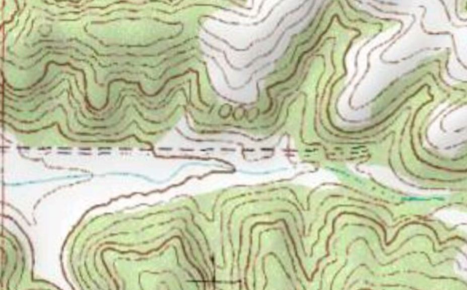
*Modest changes in topography on a small parcel of as little as 10-15' in elevation, not only increase the number of surface acres, but they also allow you to hide significantly more deer from your hunting season movements. How important is it to hide deer from your movements? Please check out, "Hiding Deer On Small Parcels".
Does Your Habitat Have What It Takes?
I encourage you to never underestimate the combination of whitetails and topography. Not only do significant terrain features create outstanding opportunities for producing quality herd and hunting opportunities on small parcels, but they can even increase the efficiency of your habitat efforts. All-things-being-equal, a hilly parcel, county state and even region will carry a higher level of whitetail potential, than the same parcel located in flat terrain. Have you been struggling with your herd, hunting and habitat levels of success? One of the greatest ingredients you may need to assess, is if your land has a sufficient combination of whitetails and topography.
